Checked
Oshawa parks directory
Oshawa, Ontario, Canada
Find Oshawa, Ontario parks and open spaces, with individual descriptions, recorded facilities, photos where verified and Google Maps.
Key information
Browse 141 park and open-space sections for Oshawa. Search a name, street or recorded feature, then open that place’s map. The source scope and any missing information are explained below.
On this page
What this directory covers
| Detail | Coverage |
|---|---|
| Individual sections | 141 |
| Source scope | Every record in the City of Oshawa Park Locations inventory, including the record classified as post-secondary education. Land classification does not confirm current public access. |
| Coverage limits | All entries in the stated source scope are included. This does not establish current public access. |
Every record in the City of Oshawa Park Locations inventory, including the record classified as post-secondary education. Land classification does not confirm current public access.
Recorded facilities can be seasonal, closed or out of service. A blank field means not confirmed. A map point may mark park land rather than a public or accessible entrance.
Sources: Oshawa official park land inventory · Oshawa parks information
Find a park
Search the recorded names, streets, descriptions and facilities. Each result has its own section and map links. Only the places on the current page are downloaded.
Some pins mark park land rather than an entrance. Official park pages have current visiting details.
141 to 141 of 141 places
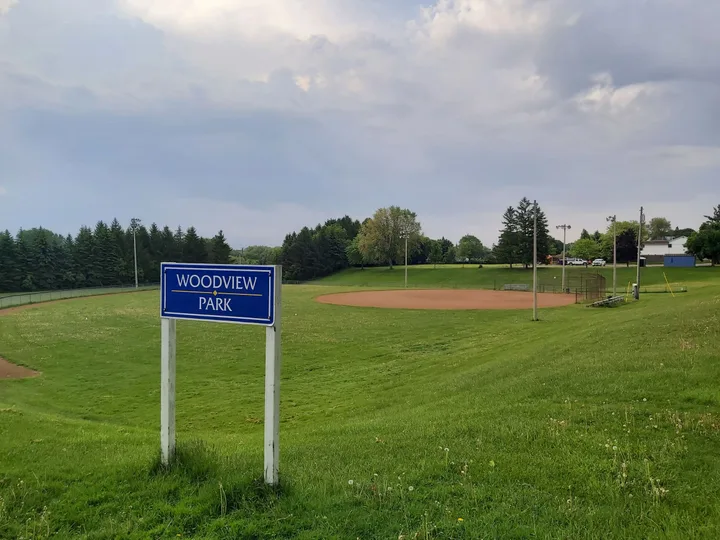
Woodview Park
151 Cadillac Ave N, Oshawa, Ontario, Canada
Woodview Park is recorded as community park in Oshawa. The recorded location is 151 Cadillac Ave N.
- Recorded type
- Community Park
- City property code
- P081
- Mapped land area
- 4.88 hectares (sum of inventory parcels)
Sources: Oshawa official park land inventory
Planning your park visit
Does this directory show every park in Oshawa?
It includes all 141 records returned by the stated official land layer, arranged into 141 sections. It is complete for that source scope. Land parcels, school grounds and open spaces are not the same as currently open visitor parks.
Why can one park have several source IDs?
A park can contain several mapped parcels. Parcels with the same recorded name and location share a section. Every original source ID is retained, so repeated land records are not silently dropped.
Do the map points show park entrances?
No. The coordinates are calculated from the mapped land boundaries and show an approximate land centre. Use the recorded address where available, and confirm the entrance before travelling.
Does a mapped park have confirmed washrooms and parking?
Not necessarily. This land inventory does not verify visitor facilities, accessible entrances or current washroom opening. A missing fact means it has not been verified, rather than that the facility does not exist.
How long is Oshawa’s Waterfront Trail section?
The city describes an 11 km section running between Whitby and Clarington, passing parks and natural areas along Lake Ontario.
Source: Oshawa parks information
Is Harmony Creek Trail suitable for a level walk?
It is a paved 4 km multi-use trail, but the city warns of steep slopes and edges close to the creek. These sections need care.
Source: Oshawa parks information
Is there a closure on the Oshawa Creek bike path?
The city reports a closure beneath the Gibb Street bridge and a temporary reroute. Review the live notice before using the 7 km Joseph Kolodzie Oshawa Creek Bike Path.
Source: Oshawa parks information
Are dogs allowed in McLaughlin Bay Wildlife Reserve?
The city prohibits dogs, except certified guide dogs on the Dogwood Trail. Camping and open fires are also prohibited.
Source: Oshawa parks information
How should I use Oshawa’s shared trails?
Keep right, do not block the trail, stay on marked routes and take litter away when no bin is available. The city asks for pet leashes no longer than 2 m. Motorized vehicles and hunting are prohibited.
Source: Oshawa parks information
Where are access points for Second Marsh?
The city lists Farewell Street and Colonel Sam Drive for this 140-hectare wetland. The trail description gives 2.5 km. A land-centre marker is not a trail entrance.
Source: Oshawa parks information
Official park information
Sources: Oshawa official park land inventory · Oshawa parks information